I like running, and figurerunning makes it even more fun. Don’t know what figurerunning is? Oh! Basically it’s just GPS tracking helping runners draw dicks on maps while running. What’s not to like?
We made a tool helping runners being creative while planning their routes. In this proof of concept we let users draw figures which automatically snap to roads and bike paths. For every waypoint we store latitude and longitude together with directions. This way we can play audio cues to the user while running.
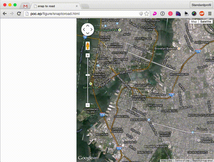
Below is a GIF showing the proof of concept.
Turns out it’s really hard to draw good routes! I tried to draw a corgi for our NYC-based Emelie to run, but there weren’t any corgi shaped neighbourhoods in Brooklyn. It just barely looks like a dog (a corgi doesn’t look like a dog either so well…).
/peder